RoadSens: An integrated near-field sensor solution for 3D forest road monitoring was just published from SmartForest in Computers and Electronics in Agriculture.
RoadSens is a platform designed to expedite the digitalization process of forest roads, a cornerstone of efficient forest operations and management.
The highlights:
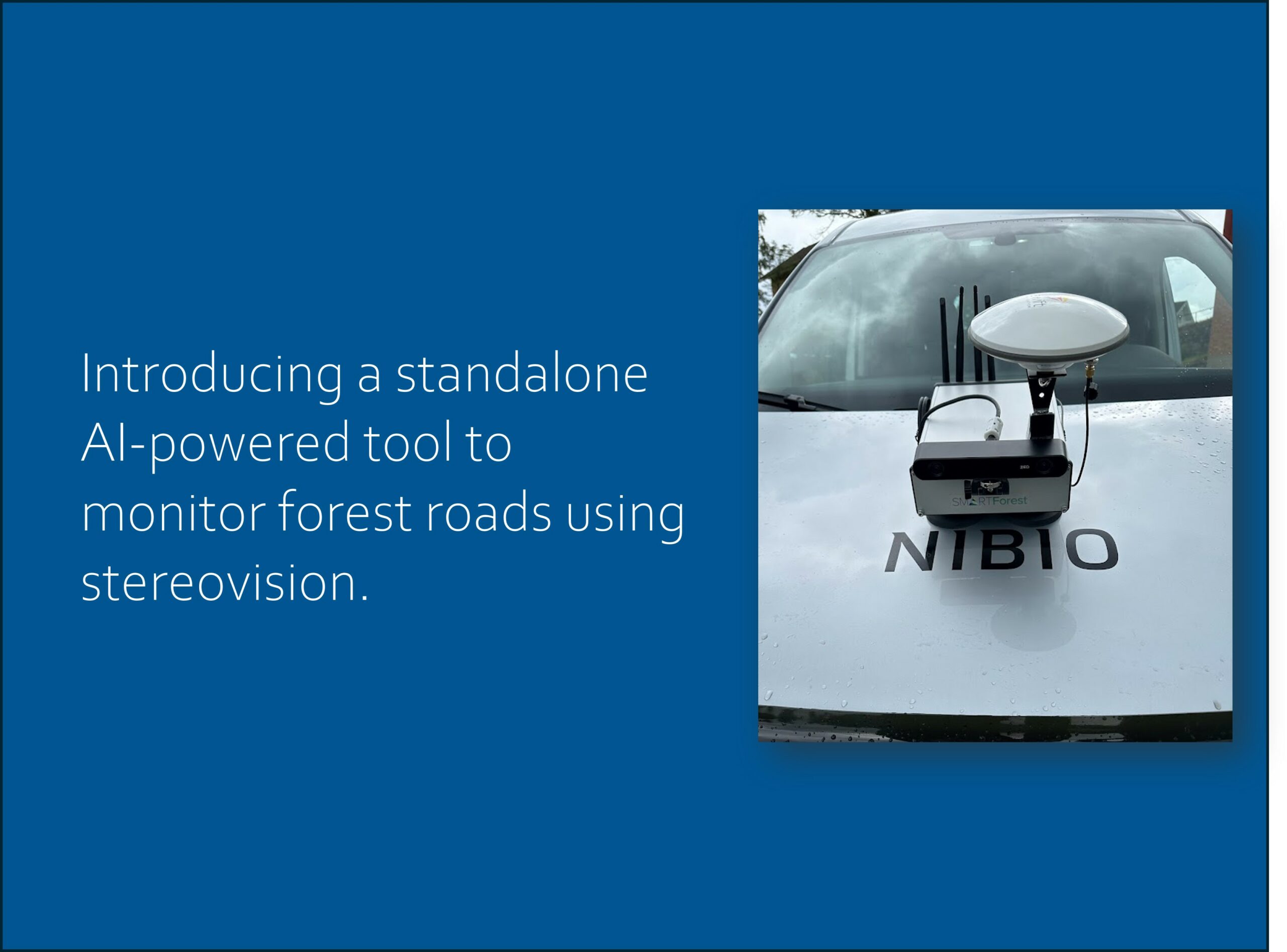
💡 Introducing a standalone AI-powered tool to monitor forest roads using stereovision.
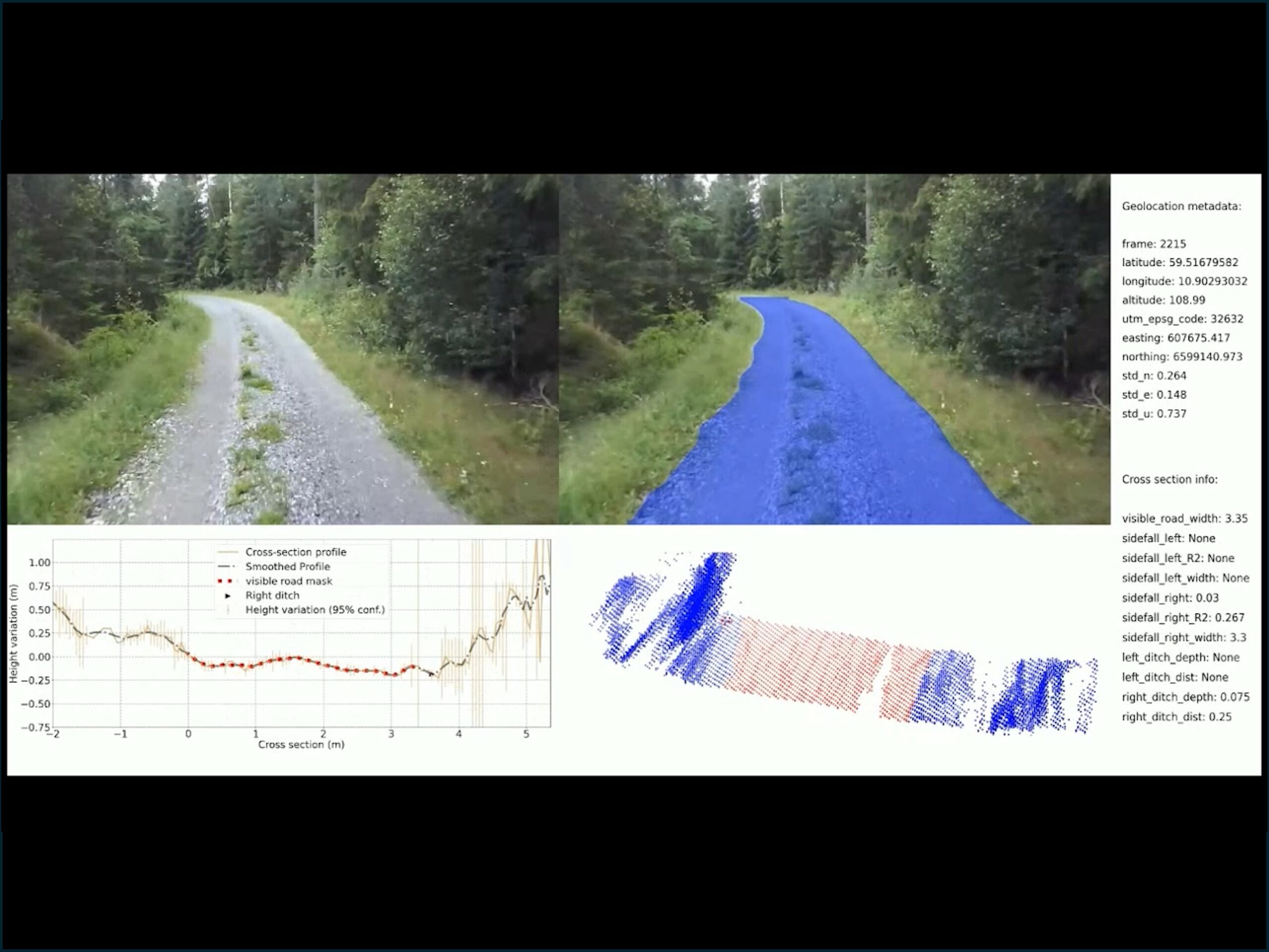
💡 The road geometry characterized by several longitudinal and cross-sectional parameters.
💡 Efficient feature extraction from 3D spatial maps via deep learning image segmentation.
💡 GNSS and stereovision odometry are utilized to generate georeferenced point clouds.
💡 Cross-section profiles show 9.8 cm error and 87%
correlation with ground truth.
Congratulations to the authors, Mostafa Hoseini, Helle Ross Gobakken, Stephan Hoffmann, Csongor Márk Horváth, Johannes Rahlf, Jan Bjerketvedt, Stefano Puliti and Rasmus Astrup!


