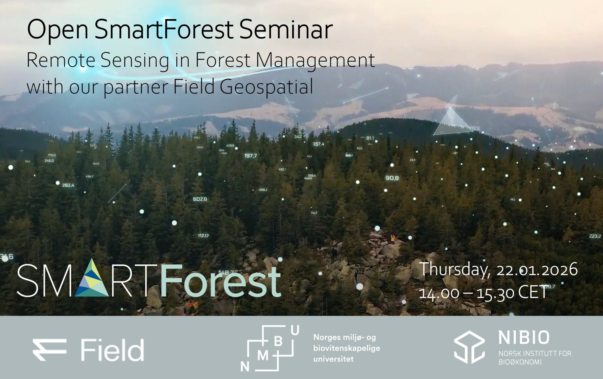
We are happy to announce our first SmartForest Open Seminar in 2026 on Remote sensing and AI in Forest Management with presentations from Jaime Candelas Bielza and Floris Groesz from our SmartForest partner Field Geospatial.
🔸 Advancing tree species composition prediction in boreal forests with remote sensing – Jaime Candelas Bielza.
🔸 Field Geospatial: Fjernmåling og kunstig intelligens i skog- og naturforvaltning (in Norwegian) – Floris Groesz.
📆 22.01.2026, 14.00 – 15.30 CET

✔️ Register here https://nibio.pameldingssystem.no/smartforest-open-seminar
The meeting link will be included in the confirmation email upon registration.
Jaime Candelas Bielza previously served as a PhD candidate at NMBU and successfully completed his PhD last year. He has since joined Field Geospatial and will present the results of his PhD research.
Floris Groesz is a specialist in Business Manager AI & Remote Sensing in Field Geospatial and will present their work on Remote sensing and AI in forest and natural resource management (in Norwegian).
Field is a geospatial technology company that captures, processes and delivers accurate information across the Nordics and beyond. Field delivers the insights organizations need to make better decisions and plan, build and manage safe and efficient natural and built environments.
Find out more on Field Geospatial 👉 https://fieldgeo.com/

You can read the dissertation of Jaime here 👉 https://hdl.handle.net/11250/3190012