
Can single-photon lidar (SPL) make forest inventories more cost-efficient?
More than 20 years after the adoption of discrete-return linear-mode lidar (LML) and the area-based approach (ABA), SPL is emerging as a promising technology for operational forest management inventories.
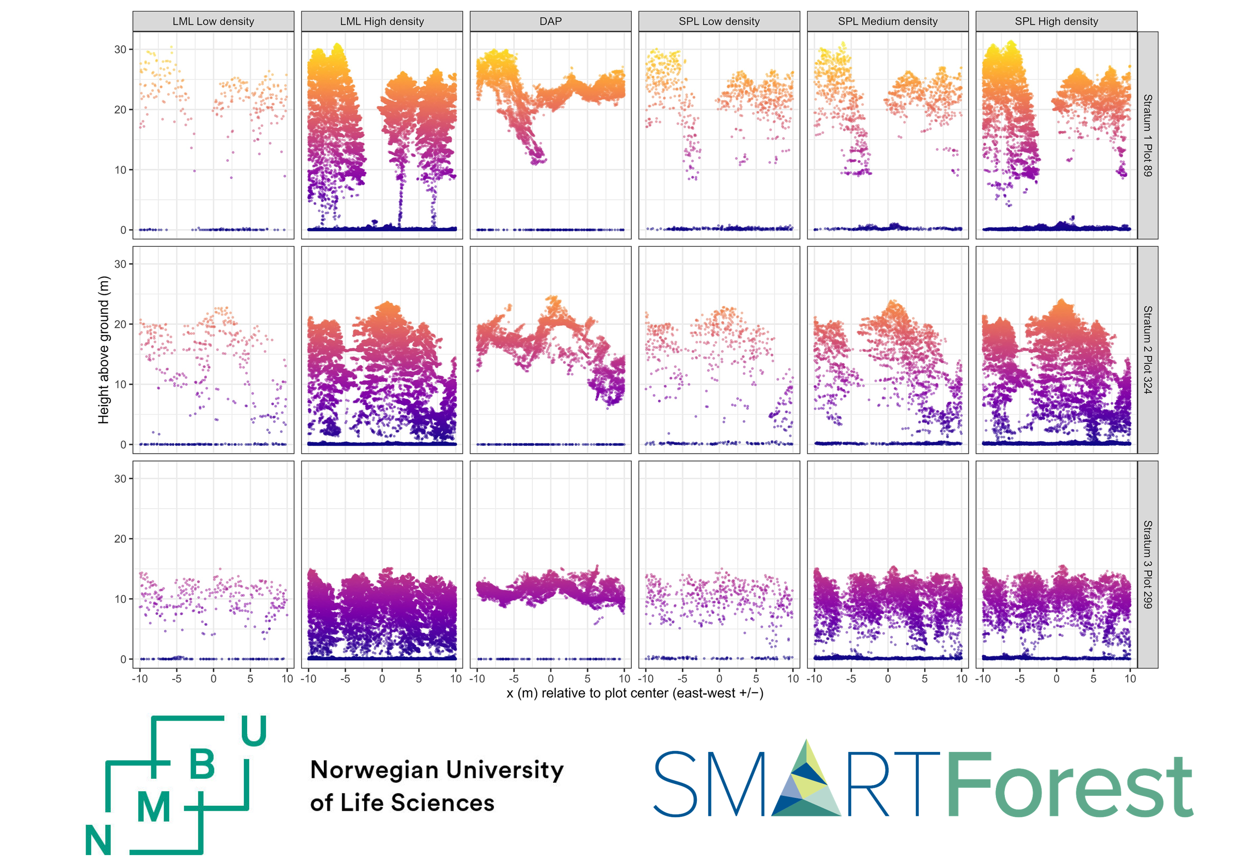
Just now, Terje Gobakken, Ole Martin Bollandsås, Erik Næsset and Hans Ole Ørka from NMBU published a SmartForest study on “A comparison of single-photon lidar, conventional lidar, and digital aerial photogrammetry for area-based forest inventory” in Forestry: An International Journal of Forest Research.
This study compared:
- SPL: 10.1, 24.2, and 59.3 first returns/m²
- LML: 2.6 and 136.9 first returns/m²
- Digital aerial photogrammetry (DAP): 61.3 points/m²
- 249 ground plots for model development and 530 independent plots for validation
The results were encouraging:
- SPL achieved accuracies comparable to LML
- SPL consistently outperformed DAP
- Higher flight altitudes could reduce flight distance by up to 30% while maintaining comparable accuracy
However, wider swaths do not automatically translate into proportional cost savings. Aircraft performance, sensor limitations, cloud cover, wildfire smoke, and other atmospheric constraints still determine how many hours are suitable for data collection.
Overall, the findings suggest that SPL can improve the cost efficiency of area-based forest inventories—particularly when flight parameters are optimized exceeding both those commonly reported in the literature and the sensor manufacturer’s recommended specifications.